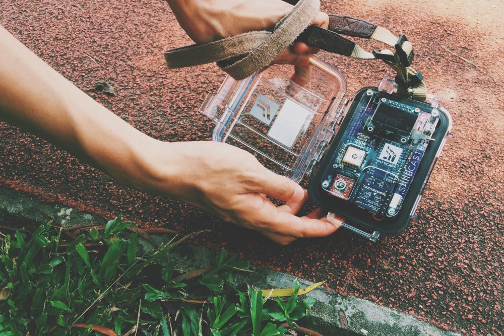
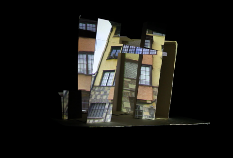
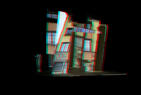
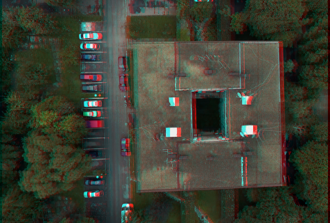
RadianceScape is a data-visualizing audiovisual piece. It based on the live radiation data from the Safecast.org, a global sensor network for collecting and sharing radiation measurements, to generate a cityscape. It appears in a point-cloud depth-mapping visuals in which the density of the radiation level is representing the visibility of the cityscape. The sequence of the images is grabbed from the Google Streetview API’s hidden depthmap data. In the sound composition, it is based on the relative radiation data to generate different tonal of drone ambience and noise. The graphical scores are composed with the mapped data-log. It consists of 2 separated parts, first part is illustrating the route of Hong Kong, where visualizing the radiation level from Mongkok to Tsim Sha Tsui area. The second part is illustrating the route of Fukushima, where visualizing the radiation level from the Fukushima Prefecture to the nuclear power plant.
Duration: 02’00”


